
Finding Oxford Township Street Records
Street-by-street work in Oxford Township starts with a real address and ends with clearly labeled records. The county parcel systems can identify land, a current owner display, and the parcel identification number, often called a PIN. A recorded deed can then show parties to a transfer. Neither result makes a complete household list. Treat a voter-file result, permit applicant, deed party, and parcel owner as separate facts. That distinction matters on a long road where one search can return several parcels and more than one local jurisdiction.
Use the same order each time. It preserves the map position and legal description before a name search introduces similar names or old mailing information.
- Enter the address in Oxford’s assessing search or the county Property Gateway. If the full string fails, use the documented partial-address, wildcard, or map-click route.
- Save the PIN, situs address, municipality field, map point, and legal description before moving to another source.
- Open the parcel on the county map and work along the road in one direction, recording each parcel separately rather than treating the street as one record.
- Search the PIN, address, or a confirmed party in Super Index. Record the instrument type, document number, recording date, and image status.
- For a defined election or historical question, use the Michigan voter route or local historical sources only within their stated access limits. Do not convert any one source into a roster of everyone at an address.
Note: A saved source date is essential because parcel data, recorded indexing, and registration status can change after a search.
Oxford Township Street Directory by Parcel
Oxford Charter Township’s BS&A assessing search begins with Address, Name, or Parcel Number. Its landing page also points to detailed, tax, utility, building, and assessing search paths, though the public detail screens were not available for a complete field capture. For the most repeatable street work, write down the PIN shown by the returned parcel before opening another tab. An owner display and a mailing address serve different purposes, and a mailing field is not proof that its recipient occupies the parcel.
The county’s Property Gateway supplies the fuller documented parcel method. It accepts an address or PIN, supports partial address text and percent wildcards, and offers map click when a street string is uncertain. A PIN can be entered with or without dashes, and the county says not to include a CVT code. This makes the street directory useful for connecting a known road address to the right piece of land without guessing from a nearby result.
The Oxford assessing search is shown in the following official capture.
Open the Oxford BS&A assessing search to start with the same address, name, or parcel choices documented above.
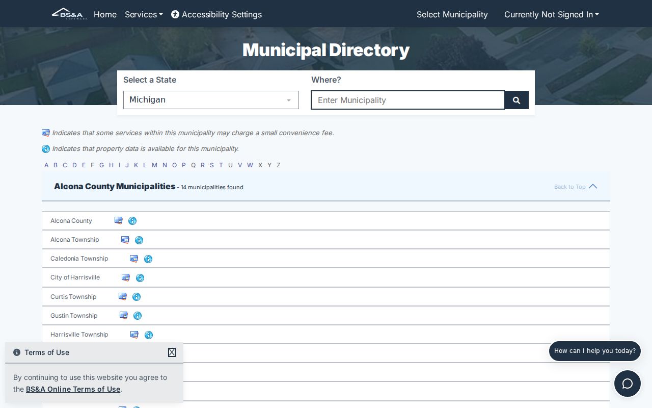
The screen is a starting point, not a complete record inventory, so preserve the linked service and the date of the search.
| Oxford Search Choice | Use for a Street Search | Record Boundary |
|---|---|---|
| Address | Locate a street number and test city or ZIP variants. | Exact result fields were not captured in the accessible detail view. |
| Name | Check an owner name after the parcel is confirmed. | A named record does not establish every person at that address. |
| Parcel Number | Return to the same parcel after a map search. | Keep displayed dashes and test without them if the portal requires it. |
| Building or tax links | Follow an address-specific municipal record route. | Public availability varies by linked service. |
Oxford Township Streets on the County Map
Oakland County Property Gateway is the map layer for an Oxford Township street directory search. The viewer documents a five-character minimum for an address, partial text, wildcards, partial PINs, comma-separated PINs, and map click. Once a road segment is visible, turn on only the layers needed, identify a parcel, and record its attributes before moving on. The map can show several parcels for one street search and can pass across Township, Village, or postal labels.
The tool set includes layer controls, address or coordinate location, value and shape searches, buffers, geometry filters, measuring, and print. A buffer selects geography, not people. For a whole street, list parcel IDs in north-to-south or west-to-east order, then inspect each separately. That method leaves a clear audit trail if a parcel split, shared drive, or subdivision plan makes the road view misleading.
The county viewer captures the property geography behind an Oxford Township street directory search.
Use the Property Gateway viewer when map click is more reliable than a full street string.
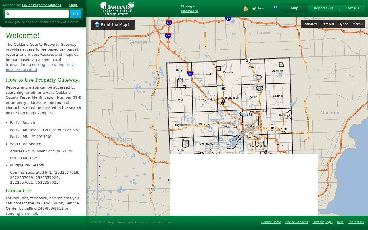
Confirm the parcel’s own municipality and taxing information after the map finds it, because a postal label is not the same as jurisdiction.
- Parcel or PIN
- The county identifier that ties a map feature to property and tax records.
- Situs address
- The physical property address shown for the parcel, kept separate from any mailing address.
- Plat
- A recorded map that can define lots, roads, or a subdivision layout.
- Criss-cross directory
- An address-to-name directory format used in some historical collections; no complete Oxford run was verified.
Oxford Township Street Record Sources
An address does not lead to one master street directory. It leads to several Oxford Township and Oakland County records, each with a defined role. Start with the parcel record to anchor the road address, then use the PIN and legal description for land records. The deed index is strongest for recorded transactions. Building records can be an address lead for a project or inspection, but the public document center is a forms repository, not a complete historical permit index. Michigan voter material is governed by separate access and exemption rules.
| Address Record | Custodian | What It Can Establish | Access Route |
|---|---|---|---|
| Parcel and assessment record | Oxford BS&A / Oakland Property Gateway | PIN, situs address, map location, current property facts, and owner display where shown. | Address, PIN, or map-click search. |
| Parcel map | Oakland Mapping Services | Parcel boundary, surrounding map context, layers, and legal-geography leads. | Free viewer; some products are paid. |
| Recorded instrument | Oakland County Clerk/Register of Deeds | Grantor, grantee, recording details, document number, and legal description. | Super Index search is free; images are paid. |
| Voter registration data | Michigan Department of State / Oxford clerk | Only releasable registration fields and voting-history information. | Self-service or defined QVF/FOIA request. |
| Permit or zoning record | Oxford Building and Planning | Address-specific project or inspection facts when public. | Department, forms, or a targeted records request. |
The chain is PIN to legal description to recorded instrument, with the street address as the practical bridge. Property Gateway notes that municipal source data can differ in update timing and classification. A property display is therefore useful lead evidence, not a replacement for the controlling recorded document. Note: Use a direct request to the responsible custodian when an older record or image does not appear online.
Oxford Township Street Deed Records
Oakland County Super Index accepts a free-text name, address, or PIN search. The county guide also describes document number, recording date, Liber/Page, keyword filters, sorting, and result sizes. Search is free, while document images are paid. The online copy service generally reaches back to January 1, 1964, excluding subdivision plat maps, even though county land holdings reach much earlier. Do not turn that online cutoff into a claim that ownership began in 1964.
Open the newest instrument first and capture the document number, recording date, grantor, grantee, instrument type, legal description, and whether an image is available. Then test the prior party in the reverse role while checking the legal description for parcel changes. Recording data may appear immediately, while names and legal descriptions can be added once indexing is complete. That timing difference is an important local search tip when a recent transaction looks incomplete.
The official Super Index interface is shown below.
Open Oakland County Super Index to search the address, PIN, or a confirmed transaction party.
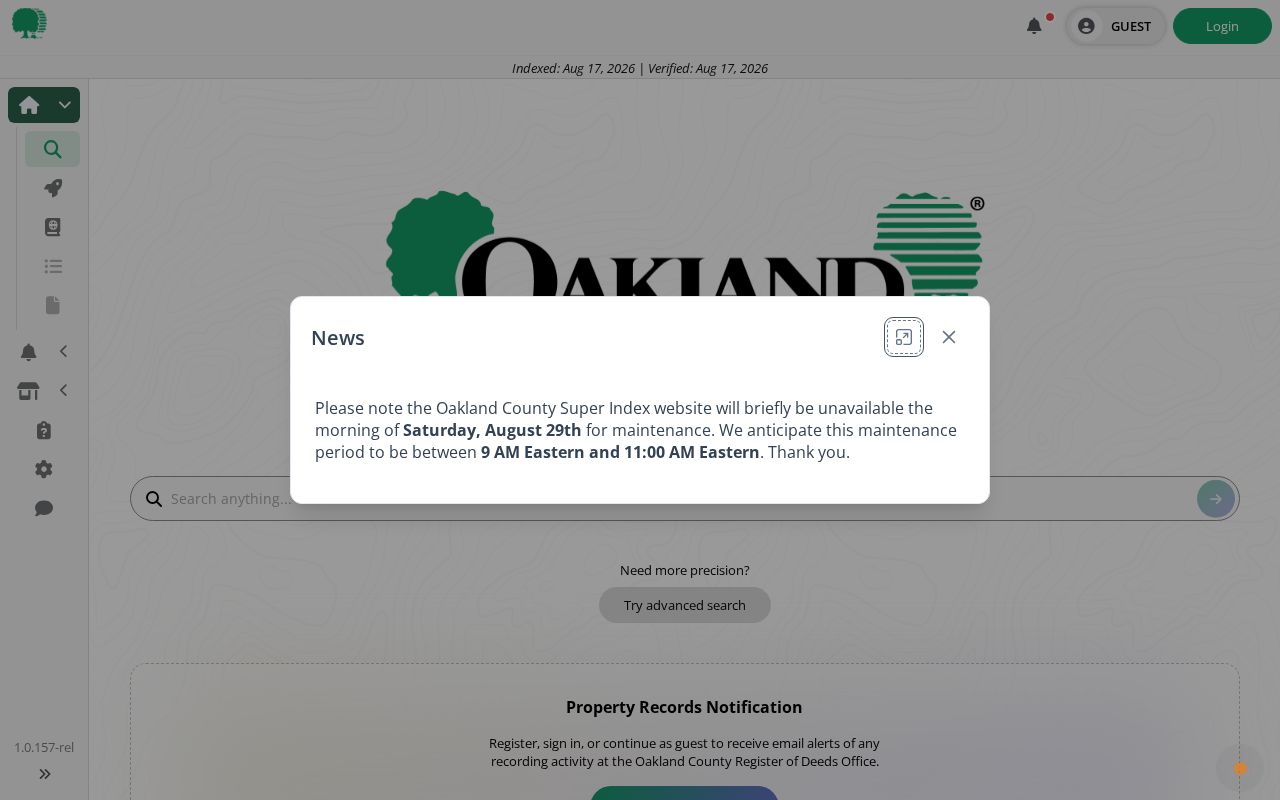
The indexed data can guide a street search without assuming that a paid image or a recorded party names everyone connected to a parcel.
Oxford Township Street Voter Records
Michigan Voter Information Center is the official self-service route, while a defined request for statewide Qualified Voter File data follows a separate process. Publicly releasable QVF fields can include complete name, residential address, mailing address if available, year of birth, registration date, status, voter identification number, and requested voting history. Voting history records participation, not ballot selections.
Several sensitive fields are exempt, including month and day of birth, telephone number, email, driver or state-ID information, digitized signature, and the last four Social Security digits. Address Confidentiality Program records are also protected. A request that needs a jurisdiction or precinct should state that scope and request only the fields needed. For local election questions, the Oxford clerk is the local contact; broader or historical file requests go to the state process.
The state lookup remains an individual-registration tool, as reflected in the official capture.
Check the Michigan voter lookup for the official registration pathway.
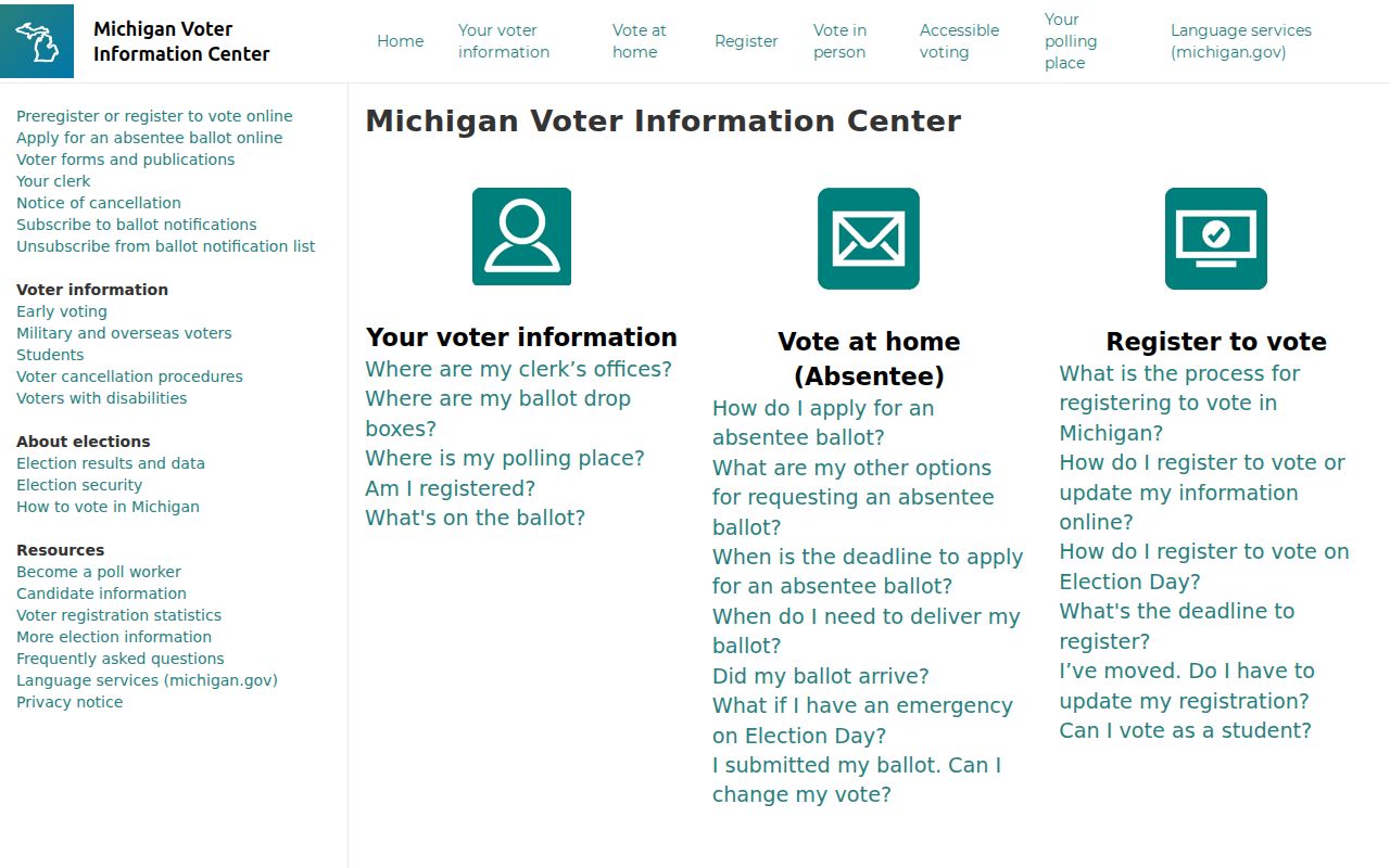
A street result must preserve the source’s limits and should never be presented as proof of every household member.
Note: Protected voter data and substitute addresses must remain unavailable, not reconstructed through parcel or street inferences.
Oxford Township Street Permit Records
Oxford Building and Planning is the address-keyed route for building, zoning, inspection, and related local records. Its forms cover building and zoning work, decks, fire alarms, mechanical, electrical, plumbing, occupancy and zoning matters, contractor registration, and homeowner affidavits. BS&A also links to Building Department Record Search, permit application, and inspection scheduling. Those channels can help identify a public project record tied to a parcel.
Use the address or PIN in the request, state the date range and record type, and ask the department which retained public records are available. The documented public material does not establish a complete searchable permit history or a name-indexed list. An applicant can be connected to a project without being identified as the current owner or a person living at the site. Keep that relationship precise.
Oxford Township Street and Postal Labels
Oxford Township, the Village of Oxford, and an Oxford postal city label are related but not interchangeable. Both 48370 and 48371 are documented in the Oxford area. The current Oxford Post Office listing uses 48371-9998, while official county material lists Fifield Farm Museum with 48370. Those examples show use of two ZIP labels, not a verified line-by-line boundary. A postal city field cannot settle township jurisdiction for a street record.
Use USPS to validate one address, then compare the returned delivery information with the Property Gateway municipality or taxing-jurisdiction field. Keep the ZIP+4 when the source returns it, but do not treat it as ownership, residency, or a municipal boundary. The Oxford Township ZIP code directory keeps the postal-geography question separate from a street-by-street parcel trail.
Oxford Township Street Records Before Modern Addresses
Older Oxford records often use a post-village or township label, route, section, lot, plat, or metes-and-bounds description instead of a modern street number. The 1863 business-directory material uses post-village and occupation clues, and the 1908 atlas combines township plats with patrons and business information. Historic aerial and atlas material can orient a road or parcel, but it cannot identify every person connected to it.
The county’s historical sequence helps set expectations: aerial records reach back to 1963, online deed images generally begin in 1964, and Property Gateway describes sale information since 1994. Oakland County holds earlier land materials, so a pre-1964 trail may require the Register of Deeds, maps or plats, archives, or assisted grantor-grantee searching. No complete Oxford crosswalk for road names, numbering, annexation, or rural-route conversion was located. Test the legal description rather than forcing an old address into a modern street match.
Oxford Township Street Directory Limits
No Oxford Township street directory can truthfully provide a complete list of every person connected to every address. A parcel owner, a deed party, a permit applicant, a QVF registrant, a court party, a cemetery entry, and a postal delivery match each describe a different relationship. Utility customer detail is not a public street roster. Driver-record information can be restricted under federal privacy law. An empty or protected field should stay empty rather than be filled by inference.
Michigan’s Address Confidentiality Program gives eligible participants a substitute address and requires covered public agencies to accept it. Protected voter records are withheld. For a family-history or estate question, use the responsible custodian and request only the source material needed for that specific purpose. The legal description, source date, and record type are often stronger evidence than a large collection of weak name matches.
Lawful use. Oxford Township address records support personal, lawful research. Do not use records or map results to stalk, harass, intimidate, or harm another person.