
Oxford Township Neighbor Sources
Public sources around an Oxford Township address describe property relationships, not a complete household roster. Begin by defining the block as the parcels sharing a boundary, a visible road segment, or a clearly stated map radius. The GIS map is the best first source because it shows the parcels being compared. A property card or deed may then answer a separate ownership question. Civic notices and limited voter material have still narrower uses.
| Source | What it can show about a block | Access and limit |
|---|---|---|
| Oakland Property Gateway | Parcel boundaries, PINs, map relationship, property attributes, and available reports | Public map and property lookup; not every person at a parcel |
| Oxford BS&A | Address, name, or parcel-number pathways for assessing, tax, permit, and utility records | Municipal availability varies; not a household list |
| Oakland Super Index | Recorded parties, instruments, dates, and legal descriptions | Free index and paid images; a deed party is not an occupant |
| Michigan QVF request | Releasable registration fields or participation history within a defined scope | Written request and statutory exemptions; no ballot choices |
| Planning and township notices | Named applicant, project, hearing, or civic stakeholder for a stated parcel | Project context only; not all nearby residents |
Save a source date for every result. An owner display, a voter entry, and a permit applicant can refer to different people. Oxford Township neighbors are best understood as a dated parcel relationship unless an official record establishes something more specific.
Oxford Township Block Definitions
A map block is not always a row of homes. A subdivision plat, condominium plan, shared drive, waterway, or road can make the parcel beside an address different from the next visible doorway. The Property Gateway map and its parcel lines help test the physical relationship first. Read the legal description or plat reference when a boundary matters, rather than relying on a street name alone.
Oxford's Township, Village, postal-city, and ZIP labels can overlap. A parcel result may use a different label from the address a person writes on mail. Keep the situs address, PIN, municipality field, and map point together. That practice prevents a postal match from being mistaken for a jurisdiction or property-boundary decision.
Oxford Township Neighbor Parcel Mapping
The county map supports a reproducible way to look around one address. Property Gateway accepts partial addresses and PINs, permits a map click when an address is uncertain, and identifies a parcel's local municipality. Its mapping tools can display parcel boundaries, aerials, flood layers, and property products. Start with the parcel itself, then inspect each adjoining parcel separately rather than assuming a street query makes one record set.
- Enter the address in Oakland Property Gateway, or use a map click, and save the subject PIN and situs address.
- Click each parcel that actually shares a boundary or falls in the stated map segment. Record its PIN, map position, and source date.
- Open every property card on its own. If the question needs ownership history, use the PIN or legal description in the Super Index.
- Label the result as parcel, owner, deed party, or project applicant. For a full named-street chain, use the Oxford Township street directory method instead.
The Oakland Property Gateway screen below illustrates the address, PIN, and map-click starting points used for an Oxford Township neighbors search.
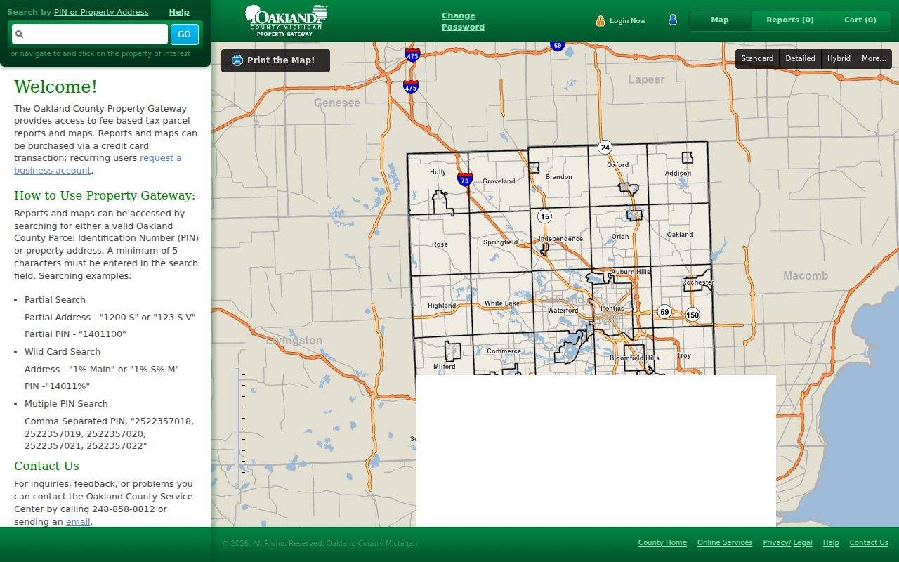
Once a parcel is identified, the map is useful for geography, not for guessing who lives there. The county notes that municipal systems feed the data, so a missing field does not prove that a record or person does not exist.
Oxford Township Neighbor Buffer Caution
GIS tools can select features within a buffer, by intersection, or by containment. A buffer is a drawn geographic approximation. It can include parcels across a road, a creek, or a municipal line, and it may omit a parcel that feels nearby from the street. Use it to describe a map area, then return to the actual parcel boundaries before making any claim about adjacency.
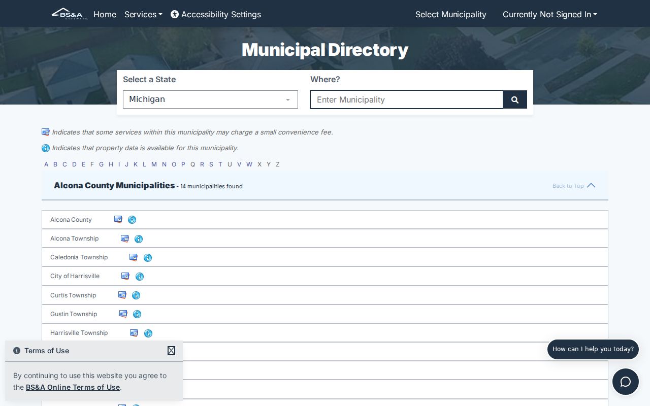
The Oxford BS&A landing page offers Address, Name, and Parcel Number choices alongside assessing, tax, utility, and building paths. Its live detail fields were not captured in the research, so it should be treated as a municipal follow-up rather than a promise of a particular search result. An assessor record can support a property question, but it is not a list of Oxford Township neighbors.
The Oxford assessing search shown below is a direct lead for checking an identified address or parcel number.
Use a source note that says whether the result came from a map, assessing record, or recorded instrument. That simple distinction prevents a parcel owner from being presented as every current household member.
Oxford Township Neighbor Voter Data
Michigan's Qualified Voter File is not a practical complete neighbor layer. A public request can seek defined fields and a stated geographic scope, but it has exemptions. The official form identifies public fields such as complete name, public address, year of birth, registration date, status, voter ID, and requested voting history. Voting history only says whether the voter participated in an election.
Month and day of birth, phone, email, driver or state ID information, digitized signature, declined-registration information, and the last four digits of a Social Security number are withheld. An address may also be protected. A March 2025 state notice about inactive registrations is not proof of an individual's present status. Use the local clerk for an election-specific clarification and the state process for a defined historic or multi-jurisdiction request.
Note: A voter file is a regulated record route, not permission to infer political views, ballot choices, or every person at an address.
Oxford Township Community Directory Limits
No official named-neighborhood or homeowners-association membership index was located for Oxford Township. That absence matters. Do not replace it with a guessed roster drawn from meeting attendees, schools, churches, or map labels. Public community sources can provide a contact or a local-history lead, but membership, attendance, and private household information remain outside those sources.
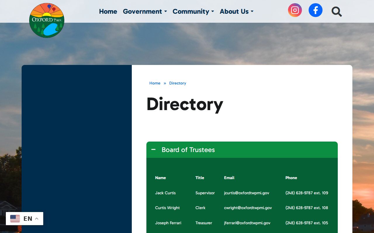
| Oxford Township public directory | Board, staff, planning, zoning, and department contact details. It is a civic contact directory, not a neighborhood-membership list. |
|---|---|
| Oxford Chamber directory | Searchable member and business/community information, plus a printed directory practice. Listings are self-submitted and not an address-neighbor roster. |
| Oxford Public Library local information | Links to Oxford history, county resources, local media, and related civic references. It can help identify a place or source, not private members. |
The Oxford Township directory is pictured because it is the documented public civic-contact layer available when an Oxford Township neighbors question turns into a department or planning question.
For a planning or zoning matter, preserve the agenda date, project address, applicant name, and final action. Those facts describe a public project, not a complete set of people around it.
Oxford Township Neighbor Source Comparison
Official records and commercial neighbor tools serve different purposes. The official path exposes the source, date, and record relationship, then leaves room for an error, restriction, or missing field. Commercial tools often assemble material from different dates and sources, which can join same-name people or retain stale details. For a property, family-history, or civic-transparency question, return to the official custodian before treating any result as a fact.
| Official record path | Commercial neighbor category | Best practice |
|---|---|---|
| Names the custodian and the record relationship, such as parcel, instrument, or court party | May combine material without the same source context or update date | Use an official record for the conclusion and preserve the source date |
| Can provide a correction or request route | May not show how a connection was created | Ask the responsible office about an apparent error |
Recorded-deed parties, registered agents, voters, and permit applicants are all distinct roles. Keeping the role with the result is the most reliable way to avoid overstatement when Oxford Township neighbors share a common name or address history.
For a current parcel question, the county's property map and a dated recorded instrument are usually more useful than a broad name result. For a historical question, the 1908 Oakland County atlas, Oxford Leader material, and library or archive sources can provide context, but they still need a date and place check. A map, a directory entry, and a recorded document may all refer to the same place at different times. Keep the time period attached to each result before joining the facts.
Oxford Township Neighbor Privacy Limits
Michigan FOIA begins with access to nonexempt public records, but it also requires custodians to protect exempt information. Michigan's Address Confidentiality Program under Public Act 301 of 2020, MCL 780.851 et seq., supplies an eligible participant with a substitute address and mail forwarding. Government agencies must use that address in covered records. Never try to reverse it from a parcel, voter, or directory clue.
Private utility details, mail-delivery information, household membership, and protected voter fields are not public facts to reconstruct. If an unfamiliar message claims to come from a county court, sheriff, or records office, independently find the office number before responding. Michigan's Attorney General warned in January 2026 about an impostor scam involving the Oakland County Sheriff's Office.
Lawful use. Use public block records for a specific, personal, lawful question. Do not watch, harass, intimidate, or harm anyone, and do not turn limited records into a dossier.